Fast answer: the must-have apps for any African safari
These are the core apps every safari traveller should install first. Each one solves a concrete problem you will face in the bush, from dead-end dirt roads to unfamiliar bird calls at dawn.
Google Maps: download offline maps for park regions and major cities; reliable navigation even when data drops
Maps.me : lightweight offline navigation built on OpenStreetMap data, strong in remote safari areas
KrugerExplorer : 4.9-star rating, offline maps and wildlife identification for Kruger National Park
Merlin Bird ID : free; 92% sound accuracy for bird calls; downloadable bird packs for east africa and southern africa
Roberts Bird Guide 2 : detailed bird information, call libraries, and site guides for South Africa and neighbouring countries
Stuarts' African Mammals : 620 species, distribution maps, 1.4 GB offline download
Google Translate : offline language packs for Swahili, Afrikaans, isiZulu, French
XE Currency Converter : works offline with saved exchange rates for ZAR, KES, TZS, NAD, BWP
Timeshifter : science-based jet lag plans; first plan free
SafarieSIM : eSIM data plans built for safari travel across 200+ destinations
Most of these work offline if set up before you fly, which is critical for remote areas in east africa and southern africa. The sections below explain how to configure each app for real safaris in south africa, Kenya, Tanzania, Botswana, Namibia, and beyond.
Why safari travel apps matter more than extra camera gear
Travellers spend hours comparing telephoto lenses and binoculars. Few spend ten minutes setting up the phone apps that solve the actual problems they will face on a game drive: no internet connection, unfamiliar road junctions, the metric system, and hundreds of species they have never seen before.
Cellular signal is often non-existent in remote national parks. A safari app should help with navigating remote areas and understanding wildlife even when the phone has zero bars.
Successful wildlife spotting can benefit from community shared sighting feeds, where other visitors log what they saw and where.
Important features for safari apps include offline functionality for remote locations, species identification, and tracking sightings by date and GPS coordinate.
Apps become the digital field guide, satnav, translator, and weather station you carry in a pocket. They enhance but never replace the moment of a sunrise game drive or the expert advice of a local guide who knows where the leopard sleeps. With a SafarieSIM eSIM, many of these travel apps can update in real time when you do have coverage, even inside parks like Kruger or the Maasai Mara buffer zones.
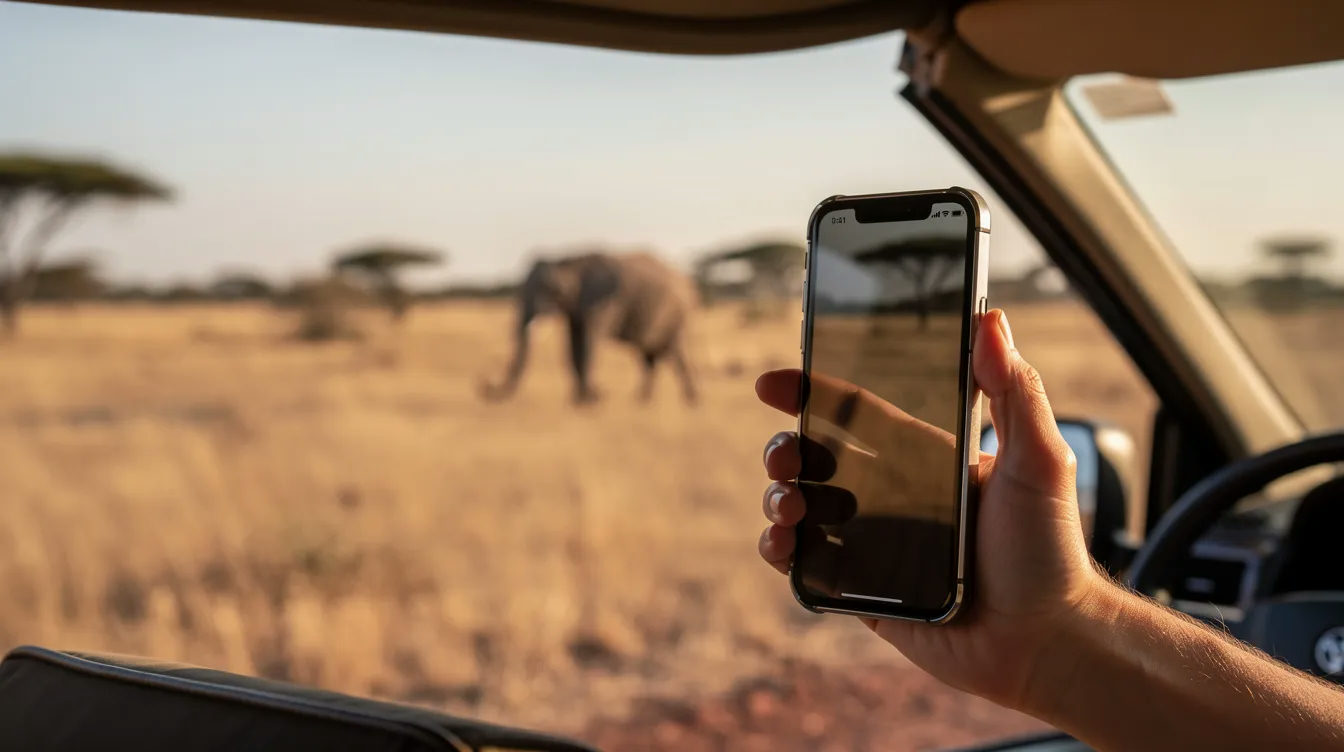
Offline maps and navigation: staying on track in remote areas
Self-drive safaris in south africa, Namibia, and Botswana rely on sparse signage and unmarked turnoffs. Offline maps are essential for self-drive safaris in africa; without them, a wrong turn can cost you hours or put you at a locked gate after closing time.
Google Maps
Google Maps provides reliable navigation and offline maps. To download offline maps, open the app, tap your profile icon, select "Offline Maps," draw a rectangle over your target area, and save. Each offline tile covers up to roughly 120,000 km². For a self drive safari in Kruger, download tiles covering Skukuza, Satara, Lower Sabie, and the H1-1 route between them (about 90 km). Save key points: park gates, fuel stops, lodges, and the nearest clinic.
Maps.me
Maps.me offers detailed offline maps for remote safari areas and provides offline navigation built on OpenStreetMap data. File sizes are smaller than Google Maps tiles, and the app handles trails and reserve tracks well. Self-drive safaris require specialized apps for road maps and fuel station information, and Maps.me covers both.
KrugerExplorer
KrugerExplorer has a 4.9-star rating and offline maps for Kruger, combining navigation with wildlife logging in a single app. It is an essential app for anyone doing a self drive safari through Kruger's network of tar and gravel roads.
Roadtrippers suggests scenic routes for self-drive safaris and is useful when planning the driving legs between urban areas and park gates.
Mark emergency waypoints before departure: park gates, the nearest clinic, fuel, and major junctions on the N1/N2 in south africa or B1 in Namibia. With a SafarieSIM data plan, you can still get live traffic and rerouting near major cities like Johannesburg, Cape Town, Nairobi, and Arusha, but assume zero signal once deep inside parks.
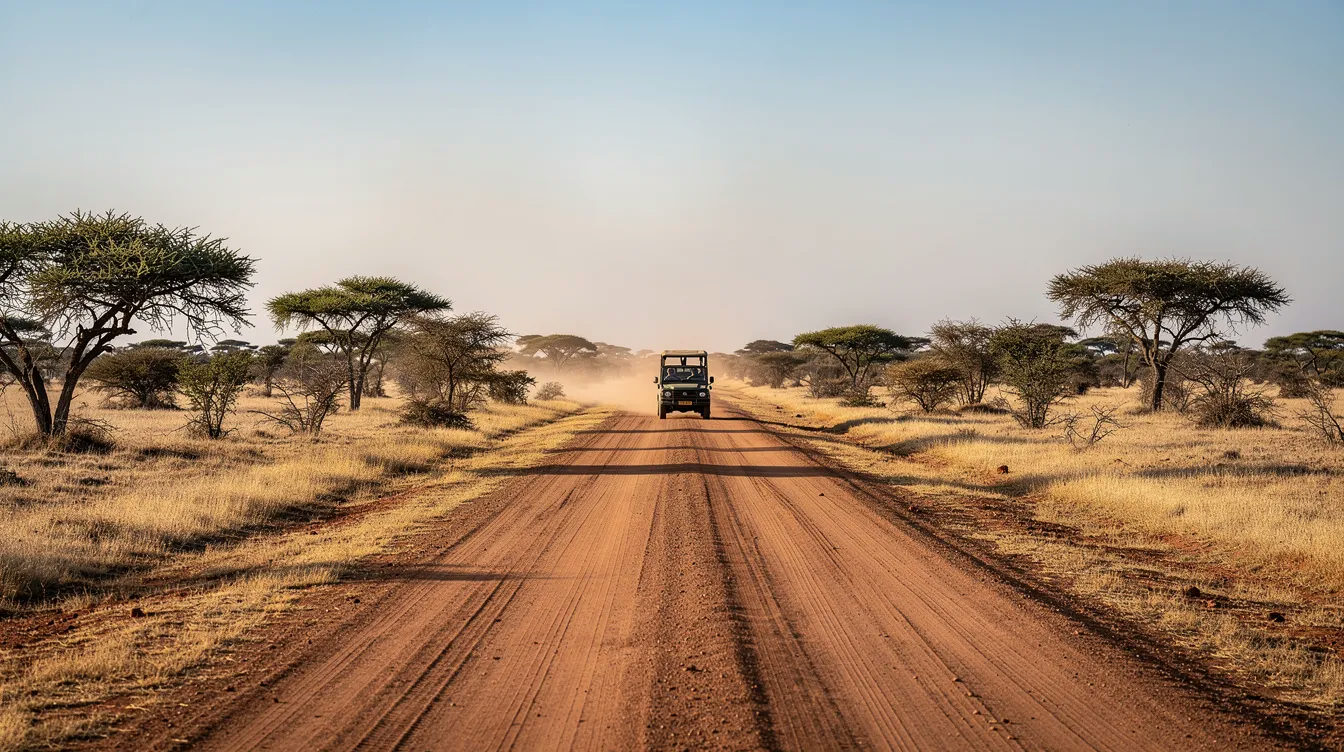
Wildlife and bird ID apps to deepen your safari experience
Africa holds over 2,300 bird species and hundreds of mammals. A smartphone loaded with the right apps replaces a stack of bulky field guides and turns every sighting into a learning moment.
Merlin Bird ID achieves 92% sound accuracy for bird calls. Download the East Africa or Southern Africa bird pack before departure; once stored, Sound ID and Photo ID work without any internet connection. The app is free, trained on over 6 million photos, and integrates with eBird for citizen science contributions. Sound ID accuracy drops for less common African species with fewer training examples, so combine it with visual identification.
Roberts Birds of Southern Africa provides detailed bird information, stronger call libraries, and site-based guides for south africa and neighbouring countries. Serious birders in southern africa will find it more granular than Merlin for regional species.
Stuarts' African Mammals covers 620 species with 4,800 images, videos, audio calls, and distribution maps. Full offline access after a 1.4 GB initial download. Smart filters let you narrow by habitat, track shape, or dropping type. A good safari app includes features for species identification and tracking sightings, and Stuarts' delivers both.
iNaturalist identifies various species through photographs. Its companion, Seek by iNaturalist, contributes to a global scientific database each time you log a sighting. Conservation content is a valuable addition to safari apps, and both of these tools feed directly into biodiversity research.
Bushwak combines wildlife spotting with a social feed. Its community sighting logs cover 300+ species across at least four countries, giving you near-real-time data on what others have seen.
Practice at home with local birds or zoo animals so that tapping and tagging becomes second nature by the time you reach the Serengeti or Okavango.
Language, currency and metric system: apps that keep you fluent
Common pain points on safari: tipping in rand versus shillings, reading a speed limit in km/h, or asking a camp attendant about hot water in Swahili.
Google Translate: download Afrikaans, Swahili, isiZulu, and French offline packs while on home Wi-Fi. Camera mode reads menus and road signs; voice mode handles basic phrases with guides and drivers. Offline access covers most text translation; voice mode for some languages still needs data.
XE Currency Converter allows offline access to saved exchange rates. Set up ZAR, KES, TZS, NAD, and BWP before departure so you can budget for tips, curios, and park fees without hunting for a signal. The XE Currency Converter app functions offline with saved rates cached from the last sync.
Metric conversion tool: converting 32 °C in the Kalahari to 90 °F, or calculating that 180 km from Windhoek to Etosha is about 112 miles, keeps planning concrete. Most smartphone OSes include a built-in converter; third-party apps add fuel consumption (litres per 100 km) if you need it.
With a SafarieSIM connection, these apps stay updated daily. Cache languages and rates before the signal drops in the bush. A safe and convenient alternative to fumbling with mental arithmetic at a curio stall is having your favourite apps preloaded and ready.
Flight, jet lag and trip-organisation apps before you hit the bush
A smooth start in Johannesburg, Cape Town, or Nairobi makes the safari itself far more relaxing. Planning a safari requires standard travel logistics and offline navigation long before you reach the park gate.
Timeshifter generates a personalized plan to avoid jet lag using circadian science, light exposure, sleep timing, and caffeine scheduling. Create a plan for flights from London or NYC to south africa or east africa two to three days before departure. Among roughly 130,000 post-flight survey respondents, 96.4% who followed its advice avoided severe jet lag. The first plan is free; further plans cost US$9.99 each or US$24.99/year.
FlightAware tracks gate changes, delays, and cancellations in real time. Useful when connecting through hubs like Doha, Dubai, or Addis Ababa, where security wait times and terminal transfers eat into layovers.
TripIt organizes travel plans in one place with real-time alerts. Forward booking emails for flights, lodges, and car hire into a single itinerary; view everything offline when landing. TripIt Pro adds features like flight itineraries with automatic rebooking alerts, a convenient alternative to juggling confirmation PDFs.
Vamoos stores travel documents for offline access. Many safari operators use white-label apps to manage itineraries digitally; Vamoos is one of the more common platforms lodges use to share details, images, and pickup coordinates.
An example itinerary: London to Johannesburg (overnight), connecting to Hoedspruit via Airlink. SafarieSIM can be activated as soon as you land via QR code, so your phone has data before you clear arrivals. That lets you refresh flight details, call your lodge's reservations team via WhatsApp, and pull up your itinerary if transfer plans change.
Weather, stargazing and night-sky apps for dawn and after-dark magic
African light and sky are part of the safari experience. June dry season mornings in southern africa can drop below 5 °C, while midday sun pushes UV index above 10.
AccuWeather or a similar detailed weather app gives 15-day forecasts, sunrise and sunset times, and precipitation data for planning river crossings in rainy seasons. Cache the forecast for your safari region before heading into limited connectivity zones.
UV and sun exposure tools (such as Wolfram Sun Exposure) help fair-skinned travellers time breaks and SPF reapplication in harsh midday sun. A quick check at breakfast can save time treating sunburn later.
Star Walk turns your phone into a night sky guide. Point it at the sky from a campfire in the Okavango or NamibRand to identify constellations, planets, and satellites. Many safari apps offer integrated stargazing and wildlife tracking tools; Star Walk focuses purely on astronomy and works fully offline once its star maps are downloaded. The awesome clarity of the Milky Way over the Kalahari or Mara is worth the download.
Weather data is best with live connectivity via SafarieSIM. Star apps rely on your phone's accelerometer, gyroscope, and magnetometer, not cellular signal.

Connectivity on safari: why an Africa-focused eSIM app is essential
The most important app for safari travel in 2026 is often the one that keeps all your other apps alive: your eSIM provider. E-SIM technology allows for easy mobile data access in remote safari regions without swapping physical SIM cards.
SafarieSIM is a travel eSIM platform specialising in data plans for safari travellers. It partners with over 700 network operators across 200+ destinations, including Safaricom (Kenya), Vodacom (Tanzania, south africa), MTN, Mascom, and Econet. It maintains detailed signal guides for parks like Kruger, Sabi Sands, Etosha, Chobe, Serengeti, Maasai Mara, and the Garden Route, showing where data works and where it drops.
Practical benefits
No paperwork or ID registration needed in many African countries (avoiding, for example, south africa's RICA process at airport SIM counters)
Cross-border data in multi-country itineraries; one plan, no roaming charges
Instant activation via QR code on any eSIM-compatible iphone or android device
4G/LTE and 5G where local infrastructure supports it
eSIMs provide instant activation and high-speed data access. Airalo offers eSIMs for international travel without physical SIM swaps, but SafarieSIM differentiates with safari-specific coverage documentation and park signal guides that tell you exactly where to expect a signal and where to prepare for offline mode. eSIM providers like SafarieSIM focus on connectivity in africa rather than generic global coverage.
A SafarieSIM connection lets you refresh Google Maps tiles around towns, sync wildlife sightings to cloud backups, update your Timeshifter schedule, call your lodge via WhatsApp, and run live translation with Google Translate. In truly remote areas where no provider has coverage, no eSIM changes the physics of tower range, so offline backup remains essential.
Using safari apps responsibly: safety, privacy and staying present
Apps are tools, not substitutes for attention. Safaris demand respect for safety rules, wildlife distances, guides, and local communities.
Safety: keep your phone on silent during a game drive. Never step out of a vehicle to chase a signal. Do not navigate off authorised roads even if a map app suggests a shortcut. Emergency contacts and local park ranger links enhance safari safety; save them in your contacts and organiser app before departure. Offline emergency instructions are important for safety while on safari; store them where they load without data.
Battery and power: carry at least one reliable power bank. Safari apps should allow the download of maps and wildlife databases for offline use so you are not burning mobile data and battery on constant syncing. Remote lodges often have limited plug sockets.
Privacy and data: some travel apps collect location and sound recordings. Review permissions before travelling, especially when roaming between countries. Check whether sighting logs or audio clips are uploaded automatically.
Being present: use apps for quick checks, then put the phone away. The core safari experience is about sounds, smells, and the family of elephants crossing ten metres in front of your vehicle, not a screen.
The smartest safari setup: a few well-chosen good apps, reliable SafarieSIM data, and your full attention on the wild.
How to set everything up before you fly to Africa
This is a practical pre-departure checklist for 2025 and 2026 safari seasons. An hour of setup on home Wi-Fi saves days of frustration in the field.
Buy and install your SafarieSIM eSIM. Select your destination and trip duration, receive the QR code by email, and add the eSIM profile to your iphone or android smartphone. Do not activate the data line until you land.
Download offline maps. Open Google Maps, draw rectangles over your key regions (park, nearest town, airport area), and save. Install Maps.me and download country files for your exact destinations. If visiting Kruger, install KrugerExplorer for its 4.9-star-rated detailed maps and wildlife logging.
Install wildlife ID apps. Download Merlin Bird ID and the correct bird pack (East Africa or Southern Africa). Install Stuarts' African Mammals or your preferred mammal guide. Add iNaturalist or Seek if you want to create a species log that contributes to global research.
Cache language, currency, and weather data. Download Google Translate language packs, sync XE Currency rates for your destination currencies, and open your weather app on the forecast page for your safari region.
Organise documents and contacts. Forward all booking confirmations into TripIt or Vamoos. Save lodge coordinates, emergency numbers, and policy documents so they load without email access.
Test in airplane mode. Switch your phone to airplane mode at home and open every app. Confirm that offline maps render, wildlife packs load, and your itinerary displays. If something fails, fix it while you still have Wi-Fi.
With that hour of preparation, you can move through airports, cities, and remote areas with confidence. Install your apps, activate SafarieSIM on landing, and focus on the adventure ahead.